Lost & Found
com.lostfound.app
The Android companion app for the Lost & Found platform — the app for the people actually out walking the streets and knocking on doors. The web app is where you set a case up; the phone is what you have in your hand when you are standing at the last place a pet was seen.
It talks to the same production platform as the website, so a case reported on a laptop shows up on the phone, and a sighting photographed in the street shows up on the case page straight away.
Features
- Home, Search, Map, Alerts, Profile — the whole app is organised around five tabs, so the live map and your own activity are always one tap away
- Map tab — the same public cases on OpenStreetMap tiles, colour-coded by status with sightings layered over the last-known position; tap a marker to open the case
- Report a sighting — take the photo and capture the GPS fix at the same moment, then attach a note; the sighting is tied to the case you are looking at
- EXIF stripped on-device — the photo's hidden metadata is removed on the phone before it is uploaded, so the location attached to a sighting is the one you reported, not what was buried inside the image
- Alerts — follow the cases you care about and get a push notification when a new sighting, comment or status change lands
- Report and follow cases — the same case lifecycle as the web app, so a found pet can be marked resolved from the phone
- Built for the street — map tiles that keep working while the signal comes and goes, and a sighting flow that is a camera and a button rather than a form
Screenshots
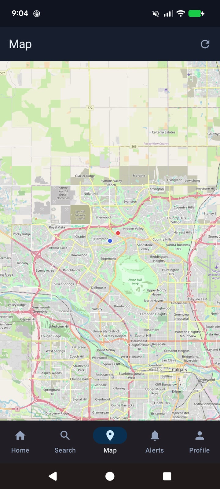
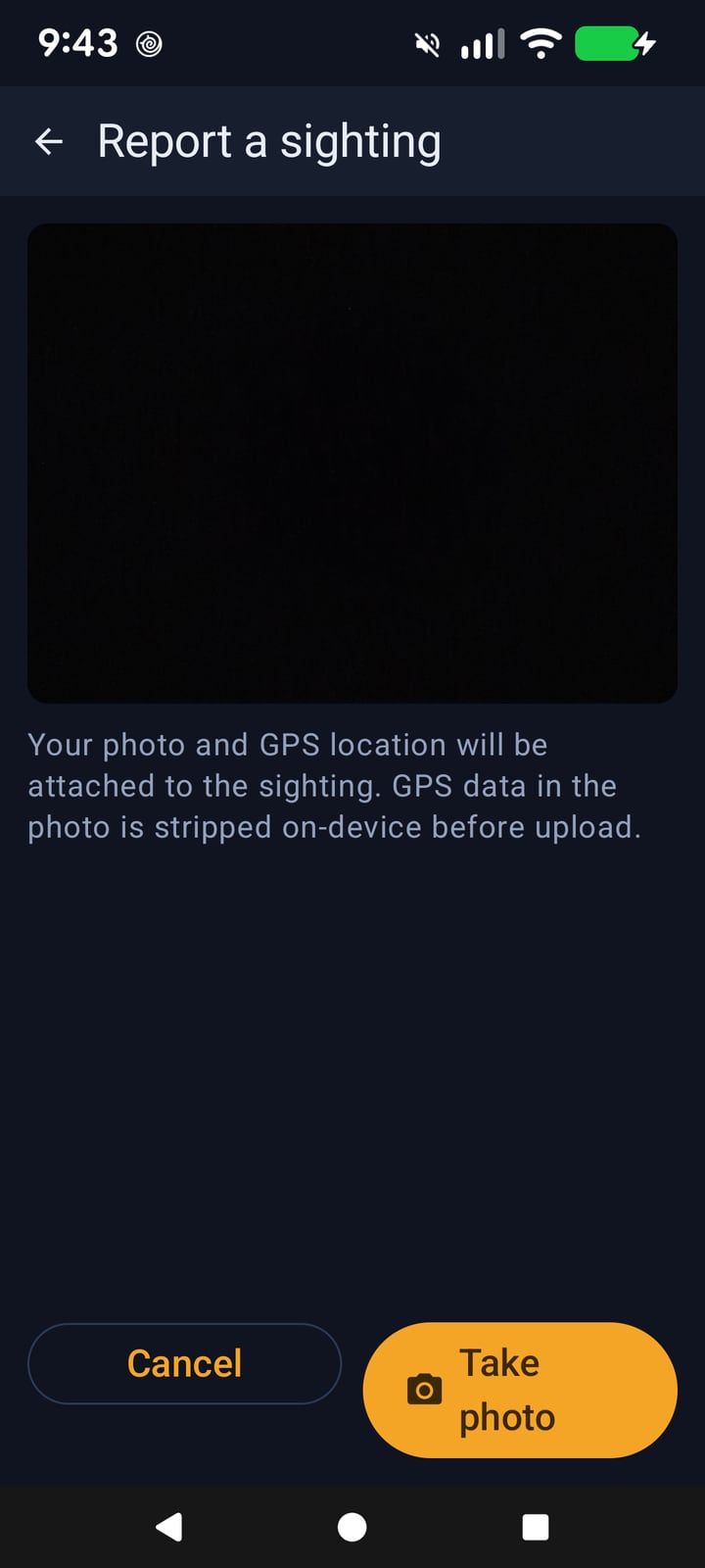
Captured from the Android app running on a physical device.
Tech Stack
- Kotlin + Jetpack Compose
- On-device EXIF sanitisation — sighting photos are cleaned up before they leave the phone
- OpenStreetMap map tiles with case and sighting markers
- Firebase Cloud Messaging — push notifications for followed cases
- Same platform as the web app — one set of cases, sightings and accounts
Status
In development. The app is used for on-device testing against the live platform, but it is not published to Google Play yet. There is no release date to promise: what is in the screenshots above is a working build, not a finished product.
The wider product — the web app, the API and the live map — is live and free to browse at Lost & Found. If the Android app is the part you are waiting on, get in touch.